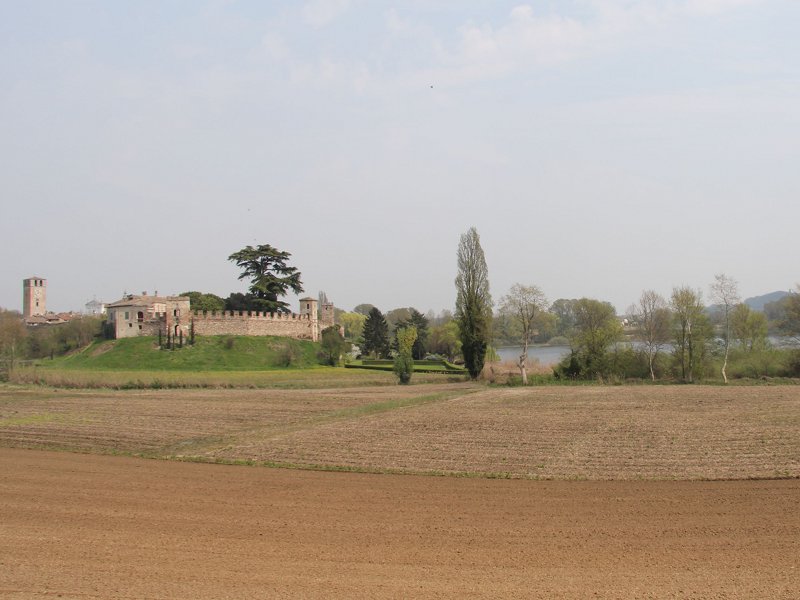


In its first stretch the river Mincio flows among gentle hills characterized by small water courses, in a landscape where built-up areas and cultivated fields alternate, with vineyards, forests and dry meadows. A territory which developed in the course of the ice age, a period that involved the northern Italy especially between 600,000 and 10,000 B.C.
During this long period some small groups of hunters and paleolithic pickers who inhabited the valleys near Verona and Brescia occasionally went down towards the plain.
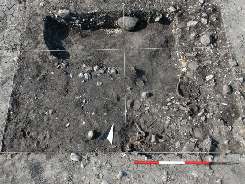
However, it was the definitive shrinking of the glaciers occurred between 10,000 and 8,000 B.C. that determined the conditions after which the first stable human settlements were created, even if the most significant archaeological testimonies date back to the Neolithic age (6th/5th millennium B.C. - late 3rd millennium B.C.)
 Download KMZ
  Download the GPX format
The discovery and use of copper was then at the basis of an evolution process and of a consequent deep cultural change, which had its peak between 2,200 and 2,000 BC (Early Bronze Age), when the first stilt villages were built on the numerous lakes formed in intra-moraine hollows. A new cultural change happened around the 16th century BC, when several stilt villages were abandoned, and other were transformed or moved after draining marshy areas.
At the end of the Bronze Age, the hills - which were one of northern Italy's most densely populated territories - gradually depopulated, maybe because of long-lasting unfavourable environmental conditions.
It was only around 388 BC (Late Iron Age), when the first Celtic populations arrived in Italy, that the morainic territory was revitalised, thanks to the gradual infiltration by Cenomani groups of people.
The presence of Cenomani, who were faithful allies of the Romans, facilitated the area's peaceful Romanization between the end of the 1st century BC and the beginning of the 1st century AD. At the time, the settlement model was no longer based on villages but on a dense network of farms (ville rustiche), which were uninterruptedly inhabited and used for extremely long periods.
The fall of the Empire resulted in a further decrease in settlements: according to the current state of knowledge, this situation only changed at the beginning of the Late Middle Ages, when castles started being built.
Itinerary: from Peschiera del Garda to Cavriana
The first section of the itinerary follows the Mincio bike trail, departing from under the arches of the railway bridge in Peschiera del Garda.
A lightly trafficked secondary road leads to the thermal power station in Ponti sul Mincio, where the bike trail actually begins. A little further, by the dam of Salionze, the trail crosses the river and runs along the left bank until Monzambano, which is famous for the events occurred during the First War of Independence.
Cross the bridge and go up towards the village, go past the Scaligeri castle on your left, cross the intersection with Strada dei Colli and take via Moscatello.
After a few hundred metres, take the second dirt road on the left, which leads to the Tosina Neolithic settlement, standing out against the surrounding landscape it its perfectly oval shape.
Return to via Moscatello and reach Castellaro Lagusello; by the war memorial, turn towards Cavriana. You thus reach the entrance of the Nature Reserve, located on the left by a playground.
The dirt road around the lake offers charming views of the village, and leads to the sites of Fondo Tacoli stilt village, of the Roman villa in Batuda, and runs along the wooded hills of Corte Galeazzo - Jüdes.
Keep right at the end of the dirt road and go up a short rise onto Strada Cavallara. Two important Roman necropolises were found at the roadsides towards Cavriana.
In Cavriana, pass under the 14th-century ogival-arched gate and reach Villa Mirra, which hosts the Archaeological Museum of the upper Mantua territory.
After visiting the museum, we recommend going up to the evocative Gonzaga fortress, from where an unequalled view of the hills until Lake Garda can be enjoyed.


